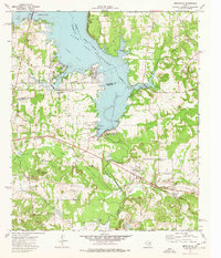
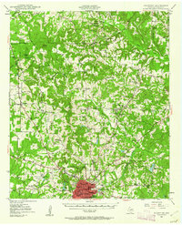
1973 Map of Berryville
USGS Topo · Published 1976About this map
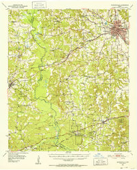
Lake Palestine dominates this East Texas landscape, where the waters of the Neches River are held by the Blackburn Crossing Dam. The map documents a complex shoreline of inlets and bays, including Fish Bay, Ledbetter Bay, and Blackburn Bay, which shaped the development of nearby Berryville and Coffee City. This 1970s survey captures the intersection of three counties—Henderson, Cherokee, and Anderson—near the strategic high ground of Anderson Bluff.
Find a feature on this map
45 named features on this map. Tap any name to fly to it.
Don’t see what you’re looking for? This feature index may not catch every label — zoom into the map to look around manually.
Map Details
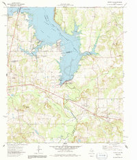
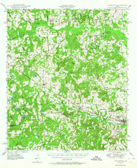
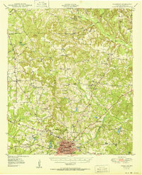
Editions of this 1973 Berryville Map
2 editions found
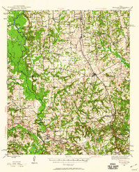
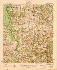
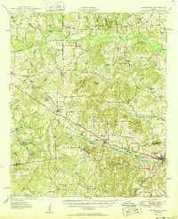
Other maps of this area
1946 · Bullard
USGS Topo · 1:62,500
1948 · Bullard
USGS Topo · 1:62,500
1949 · Palestine
USGS Topo · 1:62,500
1949 · Frankston
USGS Topo · 1:62,500
1950 · Palestine
USGS Topo · 1:62,500
1950 · Frankston
USGS Topo · 1:62,500
1951 · Jacksonville
USGS Topo · 1:62,500

1953 · Palestine
USGS Topo · 1:250,000

1956 · Tyler
USGS Topo · 1:250,000

1957 · Palestine
USGS Topo · 1:250,000