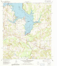
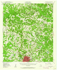
1973 Map of Berryville
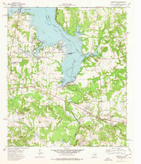
USGS Topo · Published 1991About this map
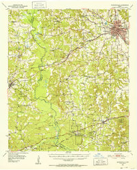
Lake Palestine dominates this landscape, reaching across the boundaries of Henderson, Anderson, and Cherokee Counties following the 1960s impoundment of the Neches River. The terrain transitions from the inundated Fish Bay and Blackburn Bay to the rising elevations of Kickapoo Mountain. Near the southern portion of the lake, the Blackburn Crossing Dam stands as a primary piece of infrastructure, while the Southern Pacific railroad cuts through the southeastern corner near Reese.
Find a feature on this map
47 named features on this map. Tap any name to fly to it.
Don’t see what you’re looking for? This feature index may not catch every label — zoom into the map to look around manually.
Map Details
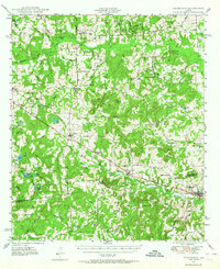
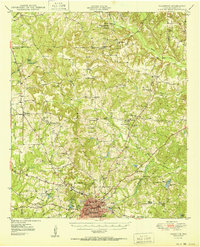
Editions of this 1973 Berryville Map
2 editions found
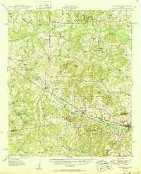
Other maps of this area
1946 · Bullard
USGS Topo · 1:62,500
1948 · Bullard
USGS Topo · 1:62,500
1949 · Palestine
USGS Topo · 1:62,500
1949 · Frankston
USGS Topo · 1:62,500
1950 · Palestine
USGS Topo · 1:62,500
1950 · Frankston
USGS Topo · 1:62,500
1951 · Jacksonville
USGS Topo · 1:62,500

1953 · Palestine
USGS Topo · 1:250,000

1956 · Tyler
USGS Topo · 1:250,000

1957 · Palestine
USGS Topo · 1:250,000