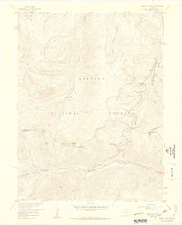
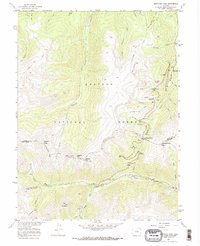
1957 Map of Berthoud Pass
USGS Topo · Published 1959About this map
Arapaho National Forest defines this high-altitude landscape, where the Continental Divide separates the headwaters of the Fraser River and the West Fork Clear Creek. This mid-century survey documents the early recreational infrastructure of the region, including the First Creek Ski Cabin and the Mary Jane Ski Trail, long before the area became a major year-round destination. The topography is marked by significant engineering feats like the Jones Pass Tunnel and an intricate system of a Ditch and Aqueduct used for water diversion.
Find a feature on this map
44 named features on this map. Tap any name to fly to it.
Don’t see what you’re looking for? This feature index may not catch every label — zoom into the map to look around manually.
Map Details
Editions of this 1957 Berthoud Pass Map
7 editions found
Other maps of this area

1903 · Georgetown
USGS Topo · 1:62,500

1905 · Central City
USGS Topo · 1:62,500

1905 · Georgetown
USGS Topo · 1:62,500

1910 · Central City
USGS Topo · 1:62,500

1912 · Central City
USGS Topo · 1:62,500

1924 · Montezuma
USGS Topo · 1:62,500

1924 · Fraser
USGS Topo · 1:62,500

1926 · Fraser
USGS Topo · 1:62,500

1926 · Montezuma
USGS Topo · 1:62,500

1933 · Montezuma
USGS Topo · 1:62,500