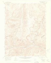
1957 Map of Berthoud Pass
USGS Topo · Published 1964About this map
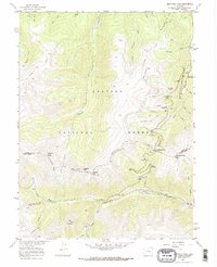
The Continental Divide snake through this high-altitude terrain in the mid-1950s, defining the boundary between Grand and Clear Creek counties. The map documents the early infrastructure of Colorado’s winter recreation and water management, featuring the Mary Jane Ski Trail and the First Creek Ski Cabin near the eastern edge. Engineering feats of the era are prominent, including the Jones Pass Tunnel and the winding Berthoud Pass Ditch. This landscape is dominated by the Arapaho National Forest, where drainages like Vasquez Creek and Fraser River begin their descent. For those interested in local history, the map preserves the location of a Used Mine near the headwaters of the West Fork Clear Creek, along with established pathways like the Mt Nystrom Trail and several pack trails that provided access to summits like Vasquez Peak and Stanley Mountain.
Find a feature on this map
32 named features on this map. Tap any name to fly to it.
Don’t see what you’re looking for? This feature index may not catch every label — zoom into the map to look around manually.
Map Details
Editions of this 1957 Berthoud Pass Map
7 editions found
Other maps of this area

1903 · Georgetown
USGS Topo · 1:62,500

1905 · Central City
USGS Topo · 1:62,500

1905 · Georgetown
USGS Topo · 1:62,500

1910 · Central City
USGS Topo · 1:62,500

1912 · Central City
USGS Topo · 1:62,500

1924 · Montezuma
USGS Topo · 1:62,500

1924 · Fraser
USGS Topo · 1:62,500

1926 · Fraser
USGS Topo · 1:62,500

1926 · Montezuma
USGS Topo · 1:62,500

1933 · Montezuma
USGS Topo · 1:62,500