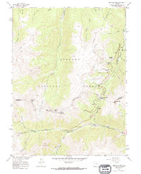
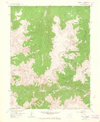
1957 Map of Berthoud Pass
USGS Topo · Published 1973About this map
Arapaho National Forest defines this high-altitude landscape, where the Continental Divide winds between the headwaters of the Fraser River and the West Fork Clear Creek. The late 1950s survey captures a transition in mountain utility, documented by the heavy engineering of the August P Gumlick Tunnel (Jones Pass Tunnel) and the Vasquez Tunnel, alongside the burgeoning recreation industry at the Ski Area near Berthoud Pass. Local landmarks like the First Creek Ski Cabin and Spruce Lodge sit at the edge of primitive routes like the St Louis Trail and Mary Jane Ski Trail. Evidence of the region’s industrial history is found at the Urad Mine and its associated Tailings near Red Mountain, illustrating the dual identity of these peaks as both a resource extraction site and a winter sports destination.
Find a feature on this map
47 named features on this map. Tap any name to fly to it.
Don’t see what you’re looking for? This feature index may not catch every label — zoom into the map to look around manually.
Map Details
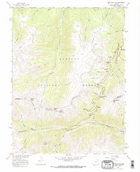
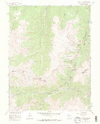
Editions of this 1957 Berthoud Pass Map
7 editions found
Other maps of this area

1903 · Georgetown
USGS Topo · 1:62,500

1905 · Central City
USGS Topo · 1:62,500

1905 · Georgetown
USGS Topo · 1:62,500

1910 · Central City
USGS Topo · 1:62,500

1912 · Central City
USGS Topo · 1:62,500

1924 · Montezuma
USGS Topo · 1:62,500

1924 · Fraser
USGS Topo · 1:62,500

1926 · Fraser
USGS Topo · 1:62,500

1926 · Montezuma
USGS Topo · 1:62,500

1933 · Montezuma
USGS Topo · 1:62,500