
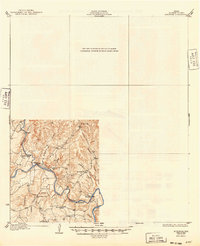
1932 Map of Bertram
USGS Topo · Published 1932About this map
The Colorado River carves through the Texas Hill Country in this early 1930s survey, illustrating a landscape defined by river fords and small rural communities before modern bridge networks dominated the region. Local travel relied on vital points like Pangle Crossing, Postoak Crossing, and Singleton Crossing, which connected the residents of Smithwick and surrounding farms.
Find a feature on this map
16 named features on this map. Tap any name to fly to it.
Don’t see what you’re looking for? This feature index may not catch every label — zoom into the map to look around manually.
Map Details
Editions of this 1932 Bertram Map
2 editions found
Other maps of this area

1887 · Blanco
USGS Topo · 1:125,000

1887 · Burnet
USGS Topo · 1:125,000

1893 · Georgetown
USGS Topo · 1:125,000

1893 · Burnet
USGS Topo · 1:125,000

1894 · Blanco
USGS Topo · 1:125,000

1896 · Austin
USGS Topo · 1:125,000

1897 · Austin
USGS Topo · 1:125,000

1903 · Burnet
USGS Topo · 1:125,000

1909 · Burnet
USGS Topo · 1:125,000

1910 · Austin
USGS Topo · 1:125,000