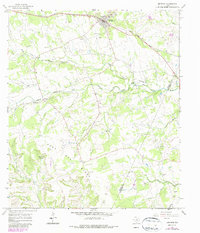
1967 Map of Bertram
USGS Topo · Published 1987About this map
Bertram serves as the primary hub of this Central Texas landscape, situated along the Southern Pacific railroad line during the mid-1960s. The settlement's layout is centered around its transportation corridor, while the surrounding countryside transitions into the rolling elevations of Post Oak Ridge. For genealogists, the map preserves the locations of several community anchors, including Mt Zion Ch and its accompanying Mt Zion Cem, alongside South Gabriel Cem and Hopewell Cem. The drainage patterns are dominated by the South Fork San Gabriel River and its tributaries, such as Oatmeal Creek near the historic settlement of Oatmeal. Numerous gravel pits scattered across the quadrangle suggest a local economy tied to the physical geology of the Burnet and Williamson County borderlands. The presence of a Landing Strip and an Athletic Field reflect the mid-century development of local infrastructure.
Find a feature on this map
31 named features on this map. Tap any name to fly to it.
Don’t see what you’re looking for? This feature index may not catch every label — zoom into the map to look around manually.
Map Details
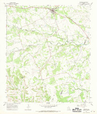
Editions of this 1967 Bertram Map
2 editions found
Other maps of this area

1887 · Burnet
USGS Topo · 1:125,000

1893 · Georgetown
USGS Topo · 1:125,000

1893 · Burnet
USGS Topo · 1:125,000

1903 · Burnet
USGS Topo · 1:125,000

1909 · Burnet
USGS Topo · 1:125,000

1932 · Bertram
USGS Topo · 1:62,500

1954 · Llano
USGS Topo · 1:250,000

1954 · Austin
USGS Topo · 1:250,000

1955 · Llano
USGS Topo · 1:250,000

1956 · Llano
USGS Topo · 1:250,000