
1952 Map of Bertrand Creek
USGS Topo · Published 1954About this map
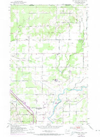
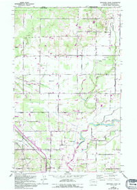
Nooksack River winds through the southern portion of this Whatcom County landscape, its course defined by protective levees that reflect the agricultural importance of the surrounding lowlands. The rural character of the early 1950s is evident in the dense network of named farm-to-market roads, such as Birch Bay Lynden Road and Alder Grove Road, which connect isolated farmsteads and small crossroads communities. Local social centers are anchored by several country congregations, including Evergreen Community Church near the Enterprise Cem and Glendale Church further north along Bertrand Creek. Cultural and recreational landmarks of the era include the Berthusen Memorial Park and the Lynden Gun Club. The northern border of the map marks the international boundary with Canada, where the terrain transitions into the more structured grid of Street Road and Johnson Rd.
Find a feature on this map
33 named features on this map. Tap any name to fly to it.
Don’t see what you’re looking for? This feature index may not catch every label — zoom into the map to look around manually.
Map Details
Editions of this 1952 Bertrand Creek Map
3 editions found
Other maps of this area

1906 · Sumas
USGS Topo · 1:62,500

1907 · Blaine
USGS Topo · 1:62,500

1908 · Sumas
USGS Topo · 1:62,500

1952 · Lynden
USGS Topo · 1:24,000

1952 · Ferndale
USGS Topo · 1:24,000

1952 · Lummi Bay
USGS Topo · 1:24,000

1952 · Blaine
USGS Topo · 1:24,000

1952 · Blaine
USGS Topo · 1:62,500

1954 · Bellingham North
USGS Topo · 1:24,000

1954 · Lynden
USGS Topo · 1:62,500