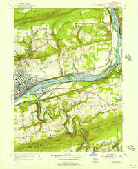
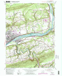
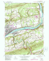
1955 Map of Berwick
USGS Topo · Published 1956About this map
The Susquehanna River serves as a central artery for industry and transport in this mid-1950s depiction of the Columbia and Luzerne county line. The borough of Berwick stands as a dense urban core, its street grid and rail lines reflecting a history of manufacturing and commerce, while Nescopeck mirrors it from the southern bank. Further east, smaller communities like Beach Haven and Foundryville mark the landscape, connected by the busy corridors of the Pennsylvania and Delaware Lackawanna and Western railroads.
Find a feature on this map
43 named features on this map. Tap any name to fly to it.
Don’t see what you’re looking for? This feature index may not catch every label — zoom into the map to look around manually.
Map Details
Editions of this 1955 Berwick Map
6 editions found
Other maps of this area

1889 · Catawissa
USGS Topo · 1:62,500

1892 · Catawissa
USGS Topo · 1:62,500

1892 · Mahanoy
USGS Topo · 1:62,500

1893 · Mahanoy
USGS Topo · 1:62,500

1894 · Catawissa
USGS Topo · 1:62,500

1894 · Shickshinny
USGS Topo · 1:62,500

1894 · Bloomsburg
USGS Topo · 1:62,500

1946 · Sybertsville
USGS Topo · 1:31,680

1946 · Nanticoke
USGS Topo · 1:31,680

1946 · Shickshinny
USGS Topo · 1:31,680