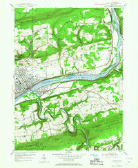
1955 Map of Berwick
USGS Topo · Published 1968About this map
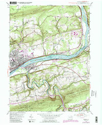
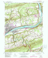
The Susquehanna River cuts a prominent path through this 1955 survey, separating the industrial and residential centers of Berwick and Nescopeck. This era of the Susquehanna valley is defined by its complex transportation and utility networks, including the paths of the Pennsylvania and Lackawanna railroads. Significant landmarks like the Air Field and a prominent Quarry near East Berwick highlight the area's mid-century development.
Find a feature on this map
45 named features on this map. Tap any name to fly to it.
Don’t see what you’re looking for? This feature index may not catch every label — zoom into the map to look around manually.
Map Details
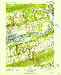
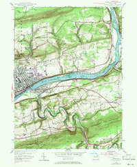
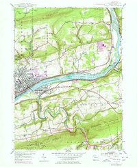
Editions of this 1955 Berwick Map
6 editions found
Other maps of this area

1889 · Catawissa
USGS Topo · 1:62,500

1892 · Catawissa
USGS Topo · 1:62,500

1892 · Mahanoy
USGS Topo · 1:62,500

1893 · Mahanoy
USGS Topo · 1:62,500

1894 · Catawissa
USGS Topo · 1:62,500

1894 · Shickshinny
USGS Topo · 1:62,500

1894 · Bloomsburg
USGS Topo · 1:62,500

1946 · Sybertsville
USGS Topo · 1:31,680

1946 · Nanticoke
USGS Topo · 1:31,680

1946 · Shickshinny
USGS Topo · 1:31,680