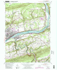
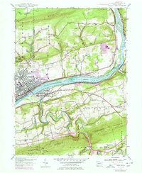
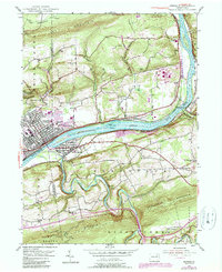
1955 Map of Berwick
USGS Topo · Published 1989About this map
The Susquehanna River carves a path through the heart of this landscape, flanked by the industrial and residential centers of Berwick and Nescopeck. This mid-century survey captures the region as development spread from the riverbanks toward the slopes of Lee Mountain and Nescopeck Mountain. The river serves as a major transportation corridor, with Conrail lines tracking its banks and several islands, including Hess I and Rocky I, dotting the channel.
Find a feature on this map
46 named features on this map. Tap any name to fly to it.
Don’t see what you’re looking for? This feature index may not catch every label — zoom into the map to look around manually.
Map Details
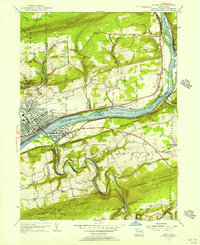
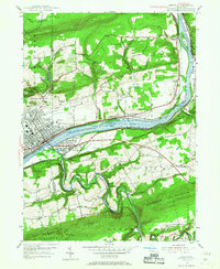
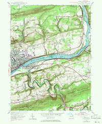
Editions of this 1955 Berwick Map
6 editions found
Other maps of this area

1889 · Catawissa
USGS Topo · 1:62,500

1892 · Catawissa
USGS Topo · 1:62,500

1892 · Mahanoy
USGS Topo · 1:62,500

1893 · Mahanoy
USGS Topo · 1:62,500

1894 · Catawissa
USGS Topo · 1:62,500

1894 · Shickshinny
USGS Topo · 1:62,500

1894 · Bloomsburg
USGS Topo · 1:62,500

1946 · Sybertsville
USGS Topo · 1:31,680

1946 · Nanticoke
USGS Topo · 1:31,680

1946 · Shickshinny
USGS Topo · 1:31,680