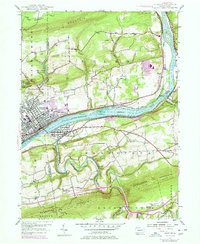
1955 Map of Berwick
USGS Topo · Published 1978About this map
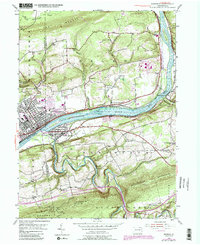
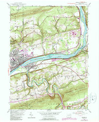
The Susquehanna River cuts a wide path through this valley, serving as the industrial and transit corridor for the neighboring communities of Berwick and Nescopeck. During this mid-century period, the landscape reveals a dense network of river-town infrastructure, from the Conrail and Delaware And Hudson rail lines to the Berwick Airfield and local industry marked by a prominent Quarry. North of the river, the terrain rises toward Lee Mountain, where smaller rural settlements like Foundryville and Berwick Heights are situated near the Glen Brook Reservoir.
Find a feature on this map
43 named features on this map. Tap any name to fly to it.
Don’t see what you’re looking for? This feature index may not catch every label — zoom into the map to look around manually.
Map Details
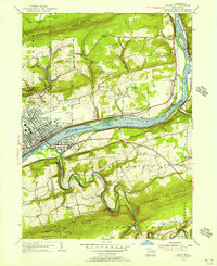
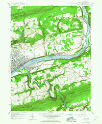
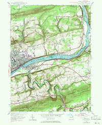
Editions of this 1955 Berwick Map
6 editions found
Other maps of this area

1889 · Catawissa
USGS Topo · 1:62,500

1892 · Catawissa
USGS Topo · 1:62,500

1892 · Mahanoy
USGS Topo · 1:62,500

1893 · Mahanoy
USGS Topo · 1:62,500

1894 · Catawissa
USGS Topo · 1:62,500

1894 · Shickshinny
USGS Topo · 1:62,500

1894 · Bloomsburg
USGS Topo · 1:62,500

1946 · Sybertsville
USGS Topo · 1:31,680

1946 · Nanticoke
USGS Topo · 1:31,680

1946 · Shickshinny
USGS Topo · 1:31,680