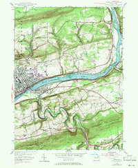
1955 Map of Berwick
USGS Topo · Published 1971About this map
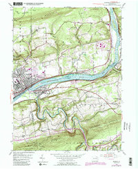
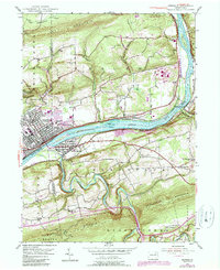
The Susquehanna River carves a deep valley through the heart of this landscape, separating the industrial hub of Berwick from the riverside community of Nescopeck. This mid-century view shows the region's complex infrastructure, where the Penn Central and Erie-Lackawanna railroads follow the riverbanks past Gould Island and Hess I. The map records a transition from the dense street grids of East Berwick to the surrounding rural hillsides dotted with historic landmarks like Stone Ch and White Ch. To the south, the terrain becomes increasingly dramatic as Nescopeck Creek meanders sharply against the slopes of Nescopeck Mountain. Local industry and commerce are evident in the presence of the Central Quarry and Berwick Airfield, reflecting a mid-20th-century economy defined by both manufacturing and resource extraction.
Find a feature on this map
44 named features on this map. Tap any name to fly to it.
Don’t see what you’re looking for? This feature index may not catch every label — zoom into the map to look around manually.
Map Details
Editions of this 1955 Berwick Map
6 editions found
Other maps of this area

1889 · Catawissa
USGS Topo · 1:62,500

1892 · Catawissa
USGS Topo · 1:62,500

1892 · Mahanoy
USGS Topo · 1:62,500

1893 · Mahanoy
USGS Topo · 1:62,500

1894 · Catawissa
USGS Topo · 1:62,500

1894 · Shickshinny
USGS Topo · 1:62,500

1894 · Bloomsburg
USGS Topo · 1:62,500

1946 · Sybertsville
USGS Topo · 1:31,680

1946 · Nanticoke
USGS Topo · 1:31,680

1946 · Shickshinny
USGS Topo · 1:31,680