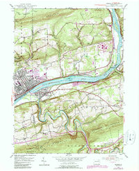
1955 Map of Berwick
USGS Topo · Published 1989About this map
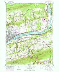
The Susquehanna River carves a wide path through this valley, serving as the historical and industrial spine for Berwick and Nescopeck. The landscape is defined by the sharp ridges of Lee Mountain to the north and Nescopeck Mountain to the south, creating a corridor where rail lines and river trade flourished. Local life is centered around several smaller clusters like Foundryville and Beach Haven, while the rural uplands are dotted with namesake landmarks such as Stone Ch and Shaffer Ch. Purple photorevisions indicate mid-century growth, including a Drive-in Theater and expanded residential footprints. Significant tracts of State Game Lands No 55 and State Game Lands No 260 anchor the higher elevations, preserving the wooded character of the Columbia and Luzerne county line.
Find a feature on this map
44 named features on this map. Tap any name to fly to it.
Don’t see what you’re looking for? This feature index may not catch every label — zoom into the map to look around manually.
Map Details
Editions of this 1955 Berwick Map
6 editions found
Other maps of this area

1889 · Catawissa
USGS Topo · 1:62,500

1892 · Catawissa
USGS Topo · 1:62,500

1892 · Mahanoy
USGS Topo · 1:62,500

1893 · Mahanoy
USGS Topo · 1:62,500

1894 · Catawissa
USGS Topo · 1:62,500

1894 · Shickshinny
USGS Topo · 1:62,500

1894 · Bloomsburg
USGS Topo · 1:62,500

1946 · Sybertsville
USGS Topo · 1:31,680

1946 · Nanticoke
USGS Topo · 1:31,680

1946 · Shickshinny
USGS Topo · 1:31,680