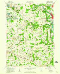
1958 Map of Bessemer
USGS Topo · Published 1959About this map
The confluence of the Mahoning River and Shenango River anchors this 1958 survey, illustrating the industrial and agricultural landscape of Lawrence County. The rail infrastructure is particularly dense around Lawrence Junction, where the Pittsburgh and Lake Erie RR and Pennsylvania RR converge to serve the regional steel and coal economies. To the west, Bessemer (Walford Sta) represents a major industrial node, surrounded by numerous excavations including a Quarry and several Strip Mine sites that defined the local economy during the mid-century period.
Find a feature on this map
57 named features on this map. Tap any name to fly to it.
Don’t see what you’re looking for? This feature index may not catch every label — zoom into the map to look around manually.
Map Details
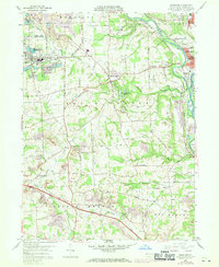
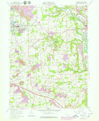
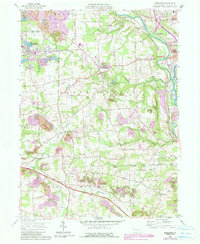
Editions of this 1958 Bessemer Map
4 editions found
Other maps of this area

1902 · New Castle
USGS Topo · 1:62,500

1904 · Newcastle
USGS Topo · 1:62,500

1905 · Neshannock
USGS Topo · 1:62,500

1906 · Youngstown
USGS Topo · 1:62,500

1907 · Neshannock
USGS Topo · 1:62,500

1907 · Columbiana
USGS Topo · 1:62,500

1908 · Youngstown
USGS Topo · 1:62,500

1909 · Columbiana
USGS Topo · 1:62,500

1950 · Cleveland
USGS Topo · 1:250,000

1951 · Canton
USGS Topo · 1:250,000