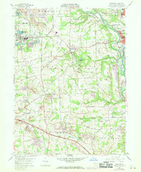
1958 Map of Bessemer
USGS Topo · Published 1970About this map
Industrial and agricultural landscapes intersect in this Lawrence County survey, where the Mahoning River and Shenango River converge to form the Beaver River. The western edge is defined by the borough of Bessemer (Walford Sta), a significant rail point for the Pittsburgh and Lake Erie and Penn Central railroads. Extensive strip mining operations are visible throughout the townships of North Beaver and Mahoning, highlighting the region's extractive history.
Find a feature on this map
60 named features on this map. Tap any name to fly to it.
Don’t see what you’re looking for? This feature index may not catch every label — zoom into the map to look around manually.
Map Details
Editions of this 1958 Bessemer Map
4 editions found
Other maps of this area

1902 · New Castle
USGS Topo · 1:62,500

1904 · Newcastle
USGS Topo · 1:62,500

1905 · Neshannock
USGS Topo · 1:62,500

1906 · Youngstown
USGS Topo · 1:62,500

1907 · Neshannock
USGS Topo · 1:62,500

1907 · Columbiana
USGS Topo · 1:62,500

1908 · Youngstown
USGS Topo · 1:62,500

1909 · Columbiana
USGS Topo · 1:62,500

1950 · Cleveland
USGS Topo · 1:250,000

1951 · Canton
USGS Topo · 1:250,000