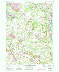
1958 Map of Bessemer
USGS Topo · Published 1990About this map
Industrial activity and rural homesteads define this Lawrence County landscape during the late 1950s. The western edge is dominated by the Bessemer borough, where extensive extractive operations like the Strip Mine and various Reclaimed Strip Mines reveal the area's reliance on mineral wealth. This heavy industry is supported by a dense network of rail infrastructure, including the Pittsburgh & Lake Erie RR and the Baltimore & Ohio RR, which converge near Lawrence Junction.
Find a feature on this map
56 named features on this map. Tap any name to fly to it.
Don’t see what you’re looking for? This feature index may not catch every label — zoom into the map to look around manually.
Map Details
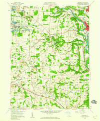
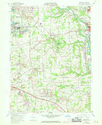
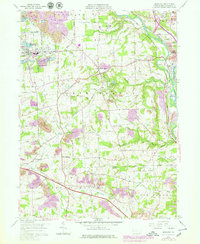
Editions of this 1958 Bessemer Map
4 editions found
Other maps of this area

1902 · New Castle
USGS Topo · 1:62,500

1904 · Newcastle
USGS Topo · 1:62,500

1905 · Neshannock
USGS Topo · 1:62,500

1906 · Youngstown
USGS Topo · 1:62,500

1907 · Neshannock
USGS Topo · 1:62,500

1907 · Columbiana
USGS Topo · 1:62,500

1908 · Youngstown
USGS Topo · 1:62,500

1909 · Columbiana
USGS Topo · 1:62,500

1950 · Cleveland
USGS Topo · 1:250,000

1951 · Canton
USGS Topo · 1:250,000