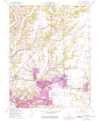
1954 Map of Bethalto
USGS Topo · Published 1975About this map
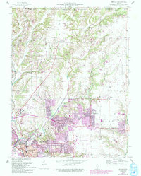
Alton State Hospital stands as a significant landmark in this region of Madison County, situated just west of the burgeoning residential areas of Forest Homes and Cottage Hills. The landscape is defined by the branching tributaries of the West Fork Wood River and East Fork Wood River, which carve through the terrain between established rural communities like Fosterburg and Moro. Purple map revisions from the early 1970s highlight the post-war expansion of suburban footprints in Bethalto and Rosewood Heights, contrasting with the more traditional rural patterns found near Emmaus Ch and Woods Sch. The presence of the Civic Memorial Airport and the B N railroad line reflects the mid-century infrastructure supporting this industrial and residential corridor north of East Alton.
Find a feature on this map
37 named features on this map. Tap any name to fly to it.
Don’t see what you’re looking for? This feature index may not catch every label — zoom into the map to look around manually.
Map Details
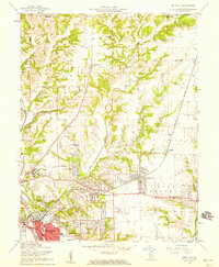
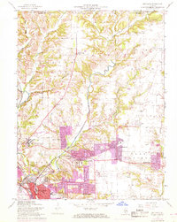
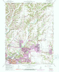
Editions of this 1954 Bethalto Map
5 editions found
Other maps of this area

1912 · Gillespie
USGS Topo · 1:62,500

1915 · Gillespie
USGS Topo · 1:62,500

1925 · Brighton
USGS Topo · 1:62,500

1927 · Alton
USGS Topo · 1:62,500

1927 · Edwardsville
USGS Topo · 1:62,500

1928 · Brighton
USGS Topo · 1:62,500

1932 · Edwardsville
USGS Topo · 1:62,500

1934 · Alton
USGS Topo · 1:62,500

1935 · Columbia Bottom
USGS Topo · 1:24,000

1948 · Quincy
USGS Topo · 1:250,000