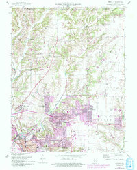
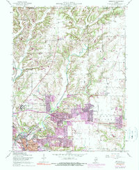
1954 Map of Bethalto
USGS Topo · Published 1993About this map
Bethalto and the surrounding river bottoms define this landscape in the mid-20th century, showing a transition from the industrial corridors of East Alton to the rural townships of Foster and Moro. The map illustrates the sprawling development of postwar suburbs like Cottage Hills, Rosewood Heights, and Forest Homes as they expanded near the St Louis Regional Airport. Significant institutional landmarks are present, including the Alton Mental Health Center and the Cloverleaf Golf Course.
Find a feature on this map
54 named features on this map. Tap any name to fly to it.
Don’t see what you’re looking for? This feature index may not catch every label — zoom into the map to look around manually.
Map Details
Editions of this 1954 Bethalto Map
5 editions found
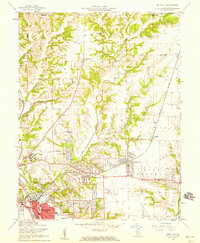
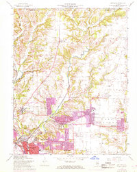
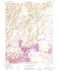
Other maps of this area

1912 · Gillespie
USGS Topo · 1:62,500

1915 · Gillespie
USGS Topo · 1:62,500

1925 · Brighton
USGS Topo · 1:62,500

1927 · Alton
USGS Topo · 1:62,500

1927 · Edwardsville
USGS Topo · 1:62,500

1928 · Brighton
USGS Topo · 1:62,500

1932 · Edwardsville
USGS Topo · 1:62,500

1934 · Alton
USGS Topo · 1:62,500

1935 · Columbia Bottom
USGS Topo · 1:24,000

1948 · Quincy
USGS Topo · 1:250,000