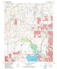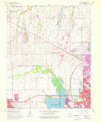
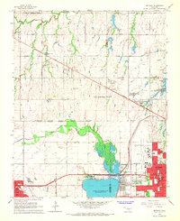
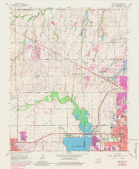
1966 Map of Bethany
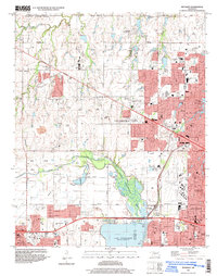
USGS Topo · Published 1976About this map
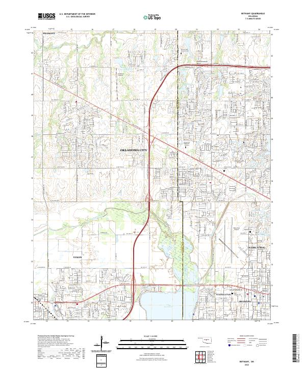
Lake Overholser and the North Canadian River dominate the southern portion of this landscape, serving as a focal point for the developing suburbs west of Oklahoma City. The mid-1970s revisions, highlighted in purple, show the rapid residential expansion of Bethany and Warr Acres, pushing into the traditionally agricultural land of Council Grove. This era captures the transition from a rural fringe to a structured metropolitan corridor, evidenced by the proliferation of infrastructure like the Wiley Post Airport and the complex network of Aqueduct and canal systems near Bluff Creek Canal Road.
Find a feature on this map
78 named features on this map. Tap any name to fly to it.
Don’t see what you’re looking for? This feature index may not catch every label — zoom into the map to look around manually.
Map Details
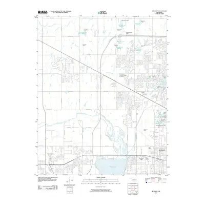
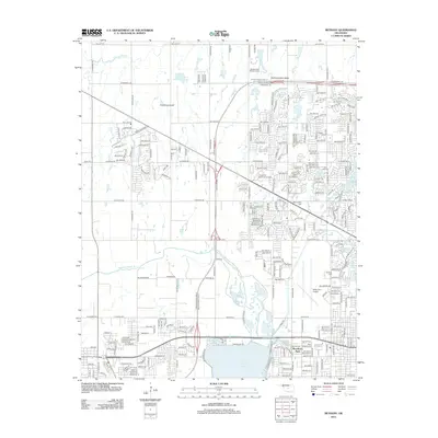
Editions of this 1966 Bethany Map
3 editions found
Historical Maps of Oklahoma City Through Time
8 maps found