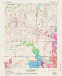
1966 Map of Bethany
USGS Topo · Published 1984About this map
Bethany and Warr Acres appear as established residential and institutional hubs during this period of mid-century expansion northwest of Oklahoma City. The landscape is anchored by significant community landmarks including Bethany College, the St Francis DeSales Seminary, and the Orphanage near St Josephs Cemetery. Infrastructure for the growing population is evident in the network of residential streets and the presence of the Wiley Post Airport and a Drive-in Theater.
Find a feature on this map
86 named features on this map. Tap any name to fly to it.
Don’t see what you’re looking for? This feature index may not catch every label — zoom into the map to look around manually.
Map Details
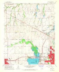
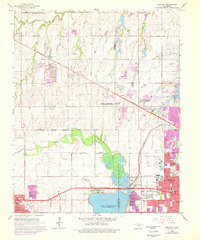
Editions of this 1966 Bethany Map
3 editions found
Other maps of this area

1892 · Kingfisher
USGS Topo · 1:125,000

1893 · Oklahoma City
USGS Topo · 1:62,500

1893 · Minco
USGS Topo · 1:62,500

1895 · Kingfisher
USGS Topo · 1:125,000

1904 · Chickasha
USGS Topo · 1:125,000

1951 · Britton
USGS Topo · 1:24,000

1954 · Oklahoma City
USGS Topo · 1:250,000

1956 · Oklahoma City
USGS Topo · 1:24,000

1956 · Oklahoma City
USGS Topo · 1:62,500

1957 · Oklahoma City
USGS Topo · 1:250,000