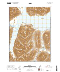
2019 Map of Bethel A-1 NE
USGS Topo · Published 2019About this map
Chikuminuk Lake dominates the central portion of this 2019 survey, illustrating a remote landscape in the Dillingham Census Area defined by high-elevation topography and clear glacial hydrology. The terrain is marked by steep ridges and glacial valleys, with Milk Creek providing a primary drainage route through the western reaches. This map documents a largely undeveloped wilderness within the t2n r57w and t1n r57w townships, showing the land as it remains today. The absence of roads or permanent structures reflects the extreme nature of this Alaskan interior, making it a critical reference for understanding the modern state of one of the nation's most remote watersheds.
Find a feature on this map
8 named features on this map. Tap any name to fly to it.
Don’t see what you’re looking for? This feature index may not catch every label — zoom into the map to look around manually.
Map Details
Editions of this 2019 Bethel A-1 NE Map
This is the sole edition of this map. No revisions or reprints were ever made.
Other maps of this area

1950 · Bethel
USGS Topo · 1:250,000

1950 · Taylor Mountains
USGS Topo · 1:250,000

1951 · Taylor Mountains
USGS Topo · 1:250,000

1954 · Taylor Mountains
USGS Topo · 1:250,000

1954 · Taylor Mountains B-8
USGS Topo · 1:63,360

1954 · Taylor Mountains A-8
USGS Topo · 1:63,360

1979 · Bethel B-1
USGS Topo · 1:63,360

1979 · Bethel A-1
USGS Topo · 1:63,360

1980 · Bethel
USGS Topo · 1:250,000
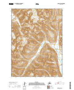
2019 · Bethel A-1 SW
USGS Topo · 1:25,000