
1954 Map of Taylor Mountains B-8
USGS Topo · Published 1968About this map
Nishlik Lake and Upnuk Lake dominate this glaciated landscape in Southwest Alaska, situated north of Wood-Tikchik. Captured during a mid-1950s aerial photogrammetric survey, the topography reveals a complex network of alpine basins and drainage systems including Chikuminuk Lake and the smaller Slate Lake. The Tikchik River meanders through the eastern lowlands, collecting the outflow from these high-elevation water bodies. The terrain is notably undeveloped, with the map recording no roads or permanent structures at the time of the field annotation. Instead, the sheet focuses on the intricate contour lines of the Taylor Mountains and the vast hydrography of the Bristol Bay watershed, providing an essential record of the region’s natural geography before modern environmental shifts.
Find a feature on this map
5 named features on this map. Tap any name to fly to it.
Don’t see what you’re looking for? This feature index may not catch every label — zoom into the map to look around manually.
Map Details
Editions of this 1954 Taylor Mountains B-8 Map
This is the sole edition of this map. No revisions or reprints were ever made.
Other maps of this area

1950 · Bethel
USGS Topo · 1:250,000

1950 · Taylor Mountains
USGS Topo · 1:250,000

1951 · Taylor Mountains
USGS Topo · 1:250,000

1954 · Taylor Mountains
USGS Topo · 1:250,000

1954 · Taylor Mountains A-8
USGS Topo · 1:63,360

1954 · Taylor Mountains B-7
USGS Topo · 1:63,360
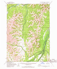
1954 · Taylor Mountains C-7
USGS Topo · 1:63,360

1954 · Taylor Mountains C-8
USGS Topo · 1:63,360
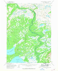
1954 · Taylor Mountains A-7
USGS Topo · 1:63,360

1979 · Bethel B-1
USGS Topo · 1:63,360