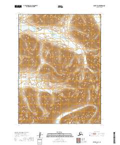
2019 Map of Bethel A-2 SE
USGS Topo · Published 2019About this map
The Kwethluk River winds through the southwestern corner of this interior Alaskan landscape, serving as the primary drainage for the surrounding high country. This 2019 survey, produced by the U.S. Geological Survey, meticulously details a region defined by substantial elevation changes and water systems. The map covers a vast interface of several townships, including T1s R60w, T1s R59w, T2s R60w, and T2s R59w.
Find a feature on this map
5 named features on this map. Tap any name to fly to it.
Don’t see what you’re looking for? This feature index may not catch every label — zoom into the map to look around manually.
Map Details
Editions of this 2019 Bethel A-2 SE Map
This is the sole edition of this map. No revisions or reprints were ever made.
Other maps of this area

1950 · Bethel
USGS Topo · 1:250,000

1951 · Goodnews
USGS Topo · 1:250,000

1979 · Bethel A-1
USGS Topo · 1:63,360

1979 · Bethel A-2
USGS Topo · 1:63,360

1979 · Goodnews Bay D-1
USGS Topo · 1:63,360

1979 · Goodnews Bay
USGS Topo · 1:250,000

1979 · Goodnews Bay D-2
USGS Topo · 1:63,360

1980 · Bethel
USGS Topo · 1:250,000
2019 · Bethel A-1 SW
USGS Topo · 1:25,000
2019 · Goodnews Bay D-2 NW
USGS Topo · 1:25,000