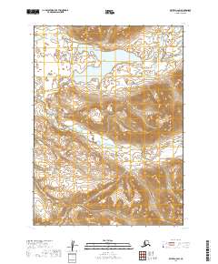
2019 Map of Bethel A-2 SW
USGS Topo · Published 2019About this map
Heart Lake sits at the center of this high-latitude landscape, surrounded by the shifting drainage patterns of the Kwethluk River and its tributaries. Located in the Dillingham Census Area of Alaska, the terrain is defined by the sharp relief of mountain ridges and the glacial hydrology that feeds Crooked Cr and the multiple branches of Milk Creek.
Find a feature on this map
9 named features on this map. Tap any name to fly to it.
Don’t see what you’re looking for? This feature index may not catch every label — zoom into the map to look around manually.
Map Details
Editions of this 2019 Bethel A-2 SW Map
This is the sole edition of this map. No revisions or reprints were ever made.
Other maps of this area

1950 · Bethel
USGS Topo · 1:250,000

1951 · Goodnews
USGS Topo · 1:250,000

1979 · Bethel A-3
USGS Topo · 1:63,360

1979 · Goodnews Bay D-3
USGS Topo · 1:63,360

1979 · Bethel A-2
USGS Topo · 1:63,360

1979 · Goodnews Bay
USGS Topo · 1:250,000

1979 · Goodnews Bay D-2
USGS Topo · 1:63,360

1980 · Bethel
USGS Topo · 1:250,000
2019 · Goodnews Bay D-3 NE
USGS Topo · 1:25,000
2019 · Bethel A-3 NE
USGS Topo · 1:25,000