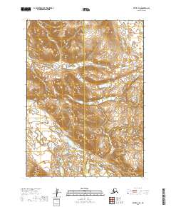
2019 Map of Bethel A-3 SE
USGS Topo · Published 2019About this map
The Kwethluk River meanders through the central portion of this wilderness landscape on the boundary between the Bethel and Dillingham Census Areas. This 2019 survey documents a landscape of high elevation and seasonal waterways within the Yukon-Kuskokwim Delta region. The terrain is defined by dramatic contour changes and the drainage patterns of several key tributaries, including Fork Cr in the northwest and Crooked Cr in the northeast. The presence of Trail Cr in the southern reaches further illustrates the complex hydrological network that sustains this remote interior. While devoid of permanent human settlements, the map provides an essential record of the natural topography and administrative boundaries within these southwest Alaska census divisions.
Find a feature on this map
9 named features on this map. Tap any name to fly to it.
Don’t see what you’re looking for? This feature index may not catch every label — zoom into the map to look around manually.
Map Details
Editions of this 2019 Bethel A-3 SE Map
This is the sole edition of this map. No revisions or reprints were ever made.
Other maps of this area

1950 · Bethel
USGS Topo · 1:250,000

1951 · Goodnews
USGS Topo · 1:250,000

1979 · Bethel A-3
USGS Topo · 1:63,360

1979 · Goodnews Bay D-3
USGS Topo · 1:63,360

1979 · Bethel A-2
USGS Topo · 1:63,360

1979 · Goodnews Bay
USGS Topo · 1:250,000

1979 · Goodnews Bay D-2
USGS Topo · 1:63,360

1980 · Bethel
USGS Topo · 1:250,000
2019 · Goodnews Bay D-3 NE
USGS Topo · 1:25,000
2019 · Bethel A-3 NE
USGS Topo · 1:25,000