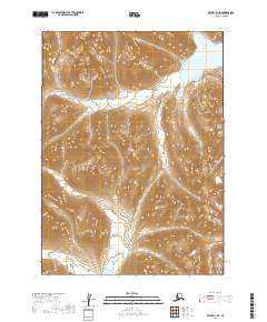
2019 Map of Bethel B-1 SE
USGS Topo · Published 2019About this map
Upnuk Lake anchors the northeastern corner of this remote Alaskan interior landscape, positioned within the Unorganized Borough. This 2019 survey captures the wilderness in the Dillingham Census Area, where the terrain is dominated by steep elevation gains and high-altitude basins. In the southern portion of the sheet, the northern shore of Caikuminuk Lake emerges, highlighting the importance of these alpine water bodies in an area otherwise defined by high ridges. The map meticulously documents the Public Land Survey System boundaries, including t3n r57w and t2n r56w, which provide the only structural grid over this roadless environment. The topography suggests a landscape shaped by glacial activity, with clear watershed divides between the two named lakes.
Find a feature on this map
6 named features on this map. Tap any name to fly to it.
Don’t see what you’re looking for? This feature index may not catch every label — zoom into the map to look around manually.
Map Details
Editions of this 2019 Bethel B-1 SE Map
This is the sole edition of this map. No revisions or reprints were ever made.
Other maps of this area

1950 · Bethel
USGS Topo · 1:250,000

1950 · Taylor Mountains
USGS Topo · 1:250,000

1951 · Taylor Mountains
USGS Topo · 1:250,000

1954 · Taylor Mountains
USGS Topo · 1:250,000

1954 · Taylor Mountains B-8
USGS Topo · 1:63,360

1954 · Taylor Mountains A-8
USGS Topo · 1:63,360

1979 · Bethel B-1
USGS Topo · 1:63,360

1979 · Bethel A-1
USGS Topo · 1:63,360

1980 · Bethel
USGS Topo · 1:250,000
2019 · Bethel B-1 NE
USGS Topo · 1:25,000