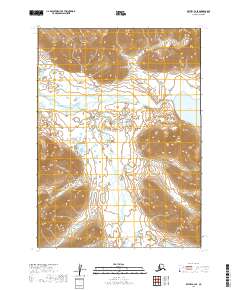
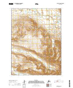
2019 Map of Bethel B-2 SE
USGS Topo · Published 2019About this map
The Kisaralik River meanders through this portion of the Dillingham Census Area, defining the low-lying drainage patterns between significant interior elevations. This 2019 survey captures the hydrological relationship between the river and Kisaralik Lake, which sits in the northeastern reach of the quadrangle. The terrain is characterized by steep contour gradients that rise sharply from the river valley, particularly in the northern and southern sectors of the map. Tributary systems like Gold Creek (also labeled as Gold Cr in its southern stretches) bisect the central plains, illustrating the complex seasonal water flow in this Alaskan landscape. These watercourses are the primary geographical markers within the Public Land Survey System grids of t3n r59w and t2n r58w, serving as vital corridors for any movement through the region's varied elevations.
Find a feature on this map
8 named features on this map. Tap any name to fly to it.
Don’t see what you’re looking for? This feature index may not catch every label — zoom into the map to look around manually.
Map Details
Editions of this 2019 Bethel B-2 SE Map
This is the sole edition of this map. No revisions or reprints were ever made.
Other maps of this area

1950 · Bethel
USGS Topo · 1:250,000

1979 · Bethel B-1
USGS Topo · 1:63,360

1979 · Bethel A-1
USGS Topo · 1:63,360

1979 · Bethel A-2
USGS Topo · 1:63,360

1979 · Bethel B-2
USGS Topo · 1:63,360

1980 · Bethel
USGS Topo · 1:250,000
2019 · Bethel B-2 NE
USGS Topo · 1:25,000
2019 · Bethel B-1 NW
USGS Topo · 1:25,000
2019 · Bethel B-2 NW
USGS Topo · 1:25,000
2019 · Bethel B-2 SW
USGS Topo · 1:25,000