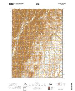
2019 Map of Bethel B-3 NE
USGS Topo · Published 2019About this map
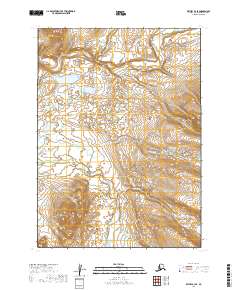
Quicksilver Creek defines the northern topography of this Alaskan landscape, cutting through high-elevation terrain before the land transitions into a sprawling wetland system to the south. This 2019 survey documents a vast area of the Bethel Census Area characterized by intricate glacial and fluvial contours. The most prominent water feature, the Kisaralik River, winds across the southeast corner, representing a critical corridor for navigation and subsistence in this undeveloped region. The map provides precise township and range delineations, such as t4n r61w and t5n r60w, which are essential for identifying specific land tracts and geographic boundaries in the remote interior.
Find a feature on this map
8 named features on this map. Tap any name to fly to it.
Don’t see what you’re looking for? This feature index may not catch every label — zoom into the map to look around manually.
Map Details
Editions of this 2019 Bethel B-3 NE Map
This is the sole edition of this map. No revisions or reprints were ever made.
Other maps of this area

1950 · Bethel
USGS Topo · 1:250,000

1954 · Bethel C-3
USGS Topo · 1:63,360

1954 · Bethel B-3
USGS Topo · 1:63,360

1979 · Bethel C-2
USGS Topo · 1:63,360

1979 · Bethel B-2
USGS Topo · 1:63,360

1980 · Bethel
USGS Topo · 1:250,000
2019 · Bethel C-3 SE
USGS Topo · 1:25,000
2019 · Bethel C-2 SW
USGS Topo · 1:25,000
2019 · Bethel B-2 NW
USGS Topo · 1:25,000
2019 · Bethel B-3 SE
USGS Topo · 1:25,000