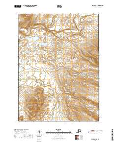
2019 Map of Bethel B-3 SE
USGS Topo · Published 2019About this map
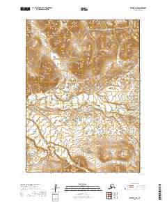
The Kisaralik River defines the northern reaches of this tundra and alpine landscape within the Bethel Census Area. The terrain is a complex network of glacial drainage systems, where Swift Cr and Crooked Creek carve through the upland elevations. This 2019 survey documents a vast, unpopulated wilderness where the hydrology dictates the movement of seasonal travelers and wildlife alike. Southward, the Akoswift Cr and Little Swift Cr contribute to the watershed, illustrating the intricate tributary patterns typical of the Alaskan interior. The map preserves the exact hydrographic state of these remote waterways before the shifts of the coming decades, serving as a baseline for environmental researchers and those tracking the geography of the Kuskokwim River basin.
Find a feature on this map
9 named features on this map. Tap any name to fly to it.
Don’t see what you’re looking for? This feature index may not catch every label — zoom into the map to look around manually.
Map Details
Editions of this 2019 Bethel B-3 SE Map
This is the sole edition of this map. No revisions or reprints were ever made.
Other maps of this area

1950 · Bethel
USGS Topo · 1:250,000

1954 · Bethel B-3
USGS Topo · 1:63,360

1979 · Bethel A-3
USGS Topo · 1:63,360

1979 · Bethel A-2
USGS Topo · 1:63,360

1979 · Bethel B-2
USGS Topo · 1:63,360

1980 · Bethel
USGS Topo · 1:250,000
2019 · Bethel A-3 NE
USGS Topo · 1:25,000
2019 · Bethel B-2 NW
USGS Topo · 1:25,000
2019 · Bethel B-3 NE
USGS Topo · 1:25,000
2019 · Bethel B-3 SW
USGS Topo · 1:25,000