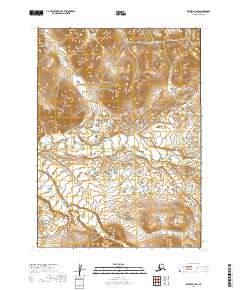
2019 Map of Bethel B-3 SW
USGS Topo · Published 2019About this map
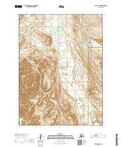
The Kasigluk River and Kisaralik River dominate this 2019 survey of the Alaskan interior east of Bethel. The landscape is defined by an intricate network of water, where the main river channels are fed by numerous smaller tributaries like Crooked Creek and Fork Cr. This topographic record illustrates a complex drainage system across the tundra, characterized by winding streams and marshy lowlands typical of the Yukon-Kuskokwim Delta region. The transition from the higher ground in the north to the lower-lying watercourses in the central sections is visible through the shifting course of Solomon Cr and Swift Cr. This map provides a precise layout of these unpopulated waterways, essential for understanding the natural hydrology of this roadless area.
Find a feature on this map
11 named features on this map. Tap any name to fly to it.
Don’t see what you’re looking for? This feature index may not catch every label — zoom into the map to look around manually.
Map Details
Editions of this 2019 Bethel B-3 SW Map
This is the sole edition of this map. No revisions or reprints were ever made.
Other maps of this area

1950 · Bethel
USGS Topo · 1:250,000

1954 · Bethel A-4
USGS Topo · 1:63,360

1954 · Bethel B-3
USGS Topo · 1:63,360

1954 · Bethel B-4
USGS Topo · 1:63,360

1979 · Bethel A-3
USGS Topo · 1:63,360

1980 · Bethel
USGS Topo · 1:250,000
2017 · Bethel A-4 NE
USGS Topo · 1:25,000
2017 · Bethel B-4 NE
USGS Topo · 1:25,000
2017 · Bethel B-4 SE
USGS Topo · 1:25,000
2019 · Bethel A-3 NE
USGS Topo · 1:25,000