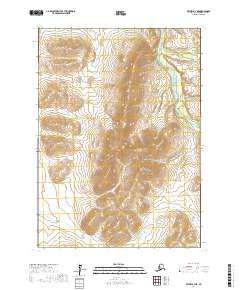
2017 Map of Bethel B-4 NE
USGS Topo · Published 2017About this map
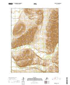
Greenstone Ridge dominates the central portion of this 2017 survey, serving as a significant topographical divide within the Bethel Census Area. The landscape is defined by its dramatic elevation changes and a series of high ridges that channel several significant waterways. Along the eastern edge, the Kisaralik River and its tributary, Swift Cr, cut through the terrain, while the Kasigluk River winds through the southwestern corner. The mapping of these river systems and the accompanying contour data provides an essential record of the hydraulic patterns in this part of the Alaska interior. The absence of roads or established settlements emphasizes the remote, water-centric nature of the region, where the terrain itself dictates the lines of travel and drainage.
Find a feature on this map
10 named features on this map. Tap any name to fly to it.
Don’t see what you’re looking for? This feature index may not catch every label — zoom into the map to look around manually.
Map Details
Editions of this 2017 Bethel B-4 NE Map
This is the sole edition of this map. No revisions or reprints were ever made.
Other maps of this area

1950 · Bethel
USGS Topo · 1:250,000

1954 · Bethel C-4
USGS Topo · 1:63,360

1954 · Bethel C-3
USGS Topo · 1:63,360

1954 · Bethel B-3
USGS Topo · 1:63,360

1954 · Bethel B-4
USGS Topo · 1:63,360

1980 · Bethel
USGS Topo · 1:250,000
2017 · Bethel B-4 NW
USGS Topo · 1:25,000
2017 · Bethel B-4 SW
USGS Topo · 1:25,000
2017 · Bethel C-4 SW
USGS Topo · 1:25,000
2017 · Bethel C-4 SE
USGS Topo · 1:25,000