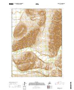
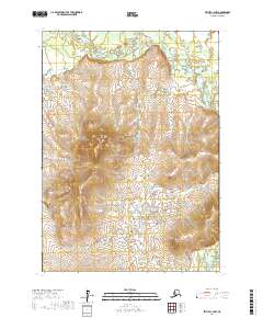
2017 Map of Bethel C-4 SE
USGS Topo · Published 2017About this map
Kisaralik River winds through the southern reaches of this landscape, its path defined by the elevation changes around Golden Gate Falls. The terrain is dominated by the Little Crow Hills, where multiple branches of Quartz Cr originate and flow through the high country. This 2017 survey by the U.S. Geological Survey illustrates the hydrologic patterns of the Bethel region, showing the intricate relationship between the elevated ridgelines and the drainages that feed into the larger river systems. The absence of roads or developed settlements highlights the remote character of this Alaskan interior, where the natural topography and watercourses remain the primary geographic markers.
Find a feature on this map
8 named features on this map. Tap any name to fly to it.
Don’t see what you’re looking for? This feature index may not catch every label — zoom into the map to look around manually.
Map Details
Editions of this 2017 Bethel C-4 SE Map
This is the sole edition of this map. No revisions or reprints were ever made.
Other maps of this area

1950 · Bethel
USGS Topo · 1:250,000

1954 · Bethel C-4
USGS Topo · 1:63,360

1954 · Bethel C-3
USGS Topo · 1:63,360

1954 · Bethel B-3
USGS Topo · 1:63,360

1954 · Bethel B-4
USGS Topo · 1:63,360

1980 · Bethel
USGS Topo · 1:250,000
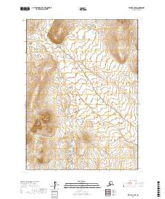
2017 · Bethel B-4 NW
USGS Topo · 1:25,000
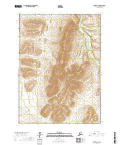
2017 · Bethel B-4 NE
USGS Topo · 1:25,000
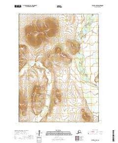
2017 · Bethel C-4 SW
USGS Topo · 1:25,000
2017 · Bethel C-4 NW
USGS Topo · 1:25,000