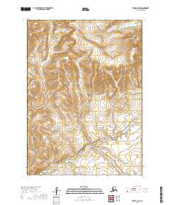
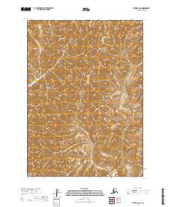
2019 Map of Bethel C-2 SW
USGS Topo · Published 2019About this map
The Cripple Mountains dominate the northern landscape of this remote Bethel Census Area terrain, where the high point of Mt Romig overlooks a complex network of drainage basins. This 2019 survey by the U.S. Geological Survey reveals a wilderness shaped by high-elevation watersheds, where numerous small tributaries feed into larger systems like Quicksilver Creek. The topographic detail illustrates the steep relief between the peaks and the surrounding valleys, providing a precise record of the landforms before any significant modern development or road infrastructure reached this section of the interior.
Find a feature on this map
11 named features on this map. Tap any name to fly to it.
Don’t see what you’re looking for? This feature index may not catch every label — zoom into the map to look around manually.
Map Details
Editions of this 2019 Bethel C-2 SW Map
This is the sole edition of this map. No revisions or reprints were ever made.
Other maps of this area

1950 · Bethel
USGS Topo · 1:250,000

1954 · Bethel C-3
USGS Topo · 1:63,360

1954 · Bethel B-3
USGS Topo · 1:63,360

1979 · Bethel C-2
USGS Topo · 1:63,360

1979 · Bethel B-2
USGS Topo · 1:63,360

1980 · Bethel
USGS Topo · 1:250,000
2019 · Bethel C-2 SE
USGS Topo · 1:25,000
2019 · Bethel C-2 NE
USGS Topo · 1:25,000
2019 · Bethel B-2 NE
USGS Topo · 1:25,000
2019 · Bethel C-3 SE
USGS Topo · 1:25,000