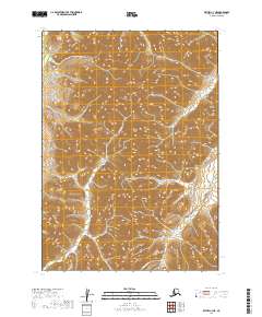
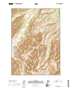
2019 Map of Bethel C-3 NE
USGS Topo · Published 2019About this map
Salmon River drainage systems define the rugged topography of this Bethel Census Area landscape. This 2019 survey documents a wilderness environment where glacial or tectonic activity has carved deep valleys between high ridges, primarily in the areas identified as t7n r60w and t8n r60w. The network of watercourses, including Quartz Cr and the northern Karl Cr, suggests a classic high-latitude hydrological pattern where seasonal melt feeds these prominent tributaries. While devoid of named settlements or man-made structures, the map serves as a vital record of the natural contours and hydrography in this part of southwestern Alaska, providing essential data for navigation and environmental study within the vast roadless reaches of the interior.
Find a feature on this map
9 named features on this map. Tap any name to fly to it.
Don’t see what you’re looking for? This feature index may not catch every label — zoom into the map to look around manually.
Map Details
Editions of this 2019 Bethel C-3 NE Map
This is the sole edition of this map. No revisions or reprints were ever made.
Other maps of this area

1950 · Bethel
USGS Topo · 1:250,000

1954 · Bethel C-3
USGS Topo · 1:63,360

1954 · Bethel D-3
USGS Topo · 1:63,360

1979 · Bethel D-2
USGS Topo · 1:63,360

1979 · Bethel C-2
USGS Topo · 1:63,360

1980 · Bethel
USGS Topo · 1:250,000
2019 · Bethel D-3 SE
USGS Topo · 1:25,000
2019 · Bethel C-3 SE
USGS Topo · 1:25,000
2019 · Bethel C-2 SW
USGS Topo · 1:25,000
2019 · Bethel C-2 NW
USGS Topo · 1:25,000