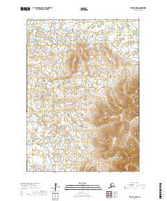
2017 Map of Bethel C-5 NW
USGS Topo · Published 2017About this map
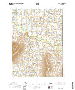
Waterways define the intricate landscape of the Yukon-Kuskokwim Delta in this 2017 survey. The Kasigluk River winds through the northeast corner, while the Kushluk River enters from the southwest, creating a complex network of hydrologic features typical of this subarctic region. Flowing through the center of the quadrangle, the Giliumbuk Cr acts as a central drainage artery. The terrain is characterized by subtle elevation changes and an expansive system of wetlands and small ponds that dominate the townships of t8n r66w, t7n r65w, and t6n r66w. This map records the precise natural boundaries of the Alaskan wilderness before continued permafrost changes and shifting river channels alter the topography further.
Find a feature on this map
9 named features on this map. Tap any name to fly to it.
Don’t see what you’re looking for? This feature index may not catch every label — zoom into the map to look around manually.
Map Details
Editions of this 2017 Bethel C-5 NW Map
This is the sole edition of this map. No revisions or reprints were ever made.
Other maps of this area

1950 · Bethel
USGS Topo · 1:250,000

1954 · Bethel C-6
USGS Topo · 1:63,360

1954 · Bethel C-5
USGS Topo · 1:63,360

1954 · Bethel D-6
USGS Topo · 1:63,360

1954 · Bethel D-5
USGS Topo · 1:63,360

1980 · Bethel
USGS Topo · 1:250,000
2017 · Bethel C-6 NE
USGS Topo · 1:25,000
2017 · Bethel D-6 SE
USGS Topo · 1:25,000
2017 · Bethel C-5 NE
USGS Topo · 1:25,000
2017 · Bethel C-6 SE
USGS Topo · 1:25,000