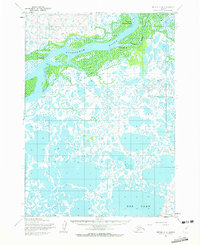
1954 Map of Bethel C-8
USGS Topo · Published 1972About this map
Kuskokwim River delta life in the mid-1950s is defined by its complex web of waterways and seasonal transport routes. This survey highlights the riverside settlements of Napakiak and Oscarville, positioned along the major river bends and secondary channels like Tupuknuk Slough. Beyond the primary riverbanks, the landscape dissolves into a dense mosaic of tundra ponds and larger water bodies such as Eek Lake.
Find a feature on this map
13 named features on this map. Tap any name to fly to it.
Don’t see what you’re looking for? This feature index may not catch every label — zoom into the map to look around manually.
Map Details
Editions of this 1954 Bethel C-8 Map
2 editions found
Other maps of this area

1950 · Bethel
USGS Topo · 1:250,000

1951 · Baird Inlet
USGS Topo · 1:250,000

1954 · Bethel D-8
USGS Topo · 1:63,360

1954 · Bethel D-7
USGS Topo · 1:63,360

1954 · Bethel B-7
USGS Topo · 1:63,360

1954 · Bethel B-8
USGS Topo · 1:63,360

1954 · Bethel C-8
USGS Topo · 1:63,360
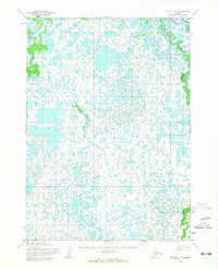
1954 · Bethel C-7
USGS Topo · 1:63,360

1954 · Baird Inlet
USGS Topo · 1:250,000

1954 · Baird Inlet B-1
USGS Topo · 1:63,360