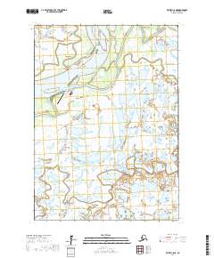
2017 Map of Bethel C-8 NE
USGS Topo · Published 2017About this map
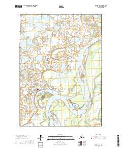
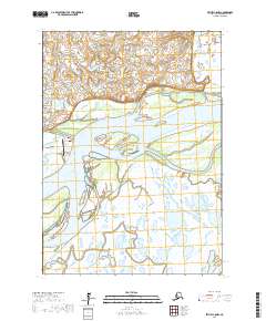
The Kuskokwim River serves as the central artery for this remote Alaskan landscape, where seasonal water flow and shifting channels dictate the layout of human habitation. The regional hub of Bethel sits at the northern edge, connected via the river to the smaller riverside settlements of Oscarville and Napaskiak. The geography is defined by a complex network of waterways, including the Tupuknuk Slough and Napaskiak Slough, which bypass the main river channel and create isolated landmasses like Graveyard Point. Transportation in this subarctic environment relies heavily on the water and the air, centered on the Napaskiak Airport and the local Airport Road. The map illustrates the survival and organization of these communities amidst a landscape of endless wetlands and seasonal sloughs that separate the riverfront villages.
Find a feature on this map
15 named features on this map. Tap any name to fly to it.
Don’t see what you’re looking for? This feature index may not catch every label — zoom into the map to look around manually.
Map Details
Editions of this 2017 Bethel C-8 NE Map
This is the sole edition of this map. No revisions or reprints were ever made.
Other maps of this area

1950 · Bethel
USGS Topo · 1:250,000

1954 · Bethel D-8
USGS Topo · 1:63,360

1954 · Bethel D-7
USGS Topo · 1:63,360

1954 · Bethel C-8
USGS Topo · 1:63,360
1954 · Bethel C-7
USGS Topo · 1:63,360

1980 · Bethel
USGS Topo · 1:250,000
2017 · Bethel C-7 SW
USGS Topo · 1:25,000
2017 · Bethel C-8 SE
USGS Topo · 1:25,000
2017 · Bethel D-8 SE
USGS Topo · 1:25,000
2017 · Bethel C-8 NW
USGS Topo · 1:25,000