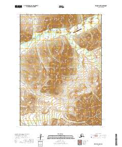
2019 Map of Bethel D-3 NW
USGS Topo · Published 2019About this map
Nyac Airport provides a rare point of access to this interior Alaskan landscape, situated where the Tuluksak River flows through the northern reaches of this survey. The terrain is defined by a dense network of watercourses, including Otter Cr in the south and Granite Cr and Dugout Cr in the north, which likely served as primary corridors for early prospecting and travel. The presence of Mary Lou Gulch suggests a history of localized naming and perhaps mineral exploration common in this region of the Bethel Census Area.
Find a feature on this map
14 named features on this map. Tap any name to fly to it.
Don’t see what you’re looking for? This feature index may not catch every label — zoom into the map to look around manually.
Map Details
Editions of this 2019 Bethel D-3 NW Map
This is the sole edition of this map. No revisions or reprints were ever made.
Other maps of this area

1947 · Russian Mission
USGS Topo · 1:250,000

1950 · Russian Mission
USGS Topo · 1:250,000

1950 · Bethel
USGS Topo · 1:250,000

1954 · Russian Mission A-4
USGS Topo · 1:63,360

1954 · Bethel D-4
USGS Topo · 1:63,360

1954 · Russian Mission A-3
USGS Topo · 1:63,360

1954 · Bethel D-3
USGS Topo · 1:63,360

1980 · Russian Mission
USGS Topo · 1:250,000

1980 · Bethel
USGS Topo · 1:250,000
2017 · Russian Mission A-4 SE
USGS Topo · 1:25,000