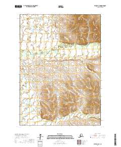
2017 Map of Bethel D-4 NE
USGS Topo · Published 2017About this map
The Tuluksak River winds through this interior landscape, defining a complex system of waterways and elevation changes within the Bethel Census Area. The map captures a transition from the lower riparian environments near Birch Slough to the higher relief and contoured ridges that dominate the eastern portion of the survey. The presence of Otter Cr at the southern edge suggests a drainage pattern typical of the region's tundra and upland interplay, where water sources dictate the movement and settlement potential in the Alaskan wilderness. This survey is a critical record of the topography before significant hydrological shifts or modern development might alter these traditional landmarks.
Find a feature on this map
9 named features on this map. Tap any name to fly to it.
Don’t see what you’re looking for? This feature index may not catch every label — zoom into the map to look around manually.
Map Details
Editions of this 2017 Bethel D-4 NE Map
This is the sole edition of this map. No revisions or reprints were ever made.
Other maps of this area

1947 · Russian Mission
USGS Topo · 1:250,000

1950 · Russian Mission
USGS Topo · 1:250,000

1950 · Bethel
USGS Topo · 1:250,000

1954 · Russian Mission A-4
USGS Topo · 1:63,360

1954 · Bethel D-4
USGS Topo · 1:63,360

1954 · Russian Mission A-3
USGS Topo · 1:63,360

1954 · Bethel D-3
USGS Topo · 1:63,360

1980 · Russian Mission
USGS Topo · 1:250,000

1980 · Bethel
USGS Topo · 1:250,000
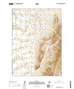
2017 · Russian Mission A-4 SE
USGS Topo · 1:25,000