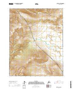
2017 Map of Bettles B-2 NE
USGS Topo · Published 2017About this map
The Alaska Pipeline carves a distinct path through this northern interior landscape, running parallel to the vital transit artery of the Dalton Highway. This infrastructure represents the late-twentieth-century industrialization of the Arctic, cutting across a terrain otherwise defined by the winding course of the Kanuti River. The river traverses the center of the sheet, providing a sharp contrast to the geometric precision of the adjacent energy corridor. In the southern portion of the map, the elevation rises toward the prominent slopes of Caribou Mtn, which anchors the local topography. This area, located within the Yukon-Koyukuk Census Area, illustrates the coexistence of remote wilderness and critical modern resource transportation networks in the Alaskan interior.
Find a feature on this map
8 named features on this map. Tap any name to fly to it.
Don’t see what you’re looking for? This feature index may not catch every label — zoom into the map to look around manually.
Map Details
Editions of this 2017 Bettles B-2 NE Map
This is the sole edition of this map. No revisions or reprints were ever made.
Other maps of this area

1951 · Bettles
USGS Topo · 1:250,000

1956 · Bettles
USGS Topo · 1:250,000

1970 · Bettles B-2
USGS Topo · 1:63,360
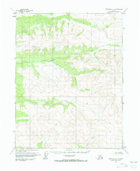
1970 · Bettles C-1
USGS Topo · 1:63,360

1970 · Bettles C-2
USGS Topo · 1:63,360
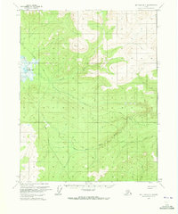
1970 · Bettles B-1
USGS Topo · 1:63,360
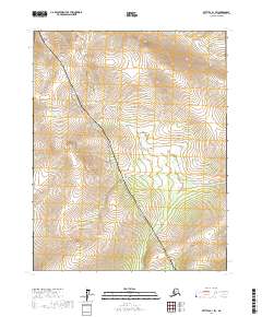
2017 · Bettles B-1 SW
USGS Topo · 1:25,000
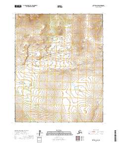
2017 · Bettles B-2 SE
USGS Topo · 1:25,000
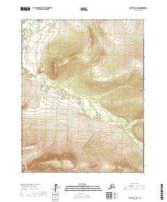
2017 · Bettles C-2 SW
USGS Topo · 1:25,000
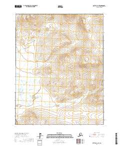
2017 · Bettles B-1 NW
USGS Topo · 1:25,000