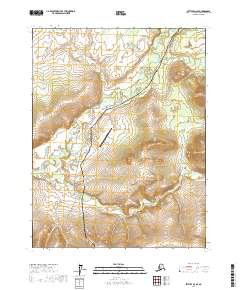
2017 Map of Bettles D-2 SE
USGS Topo · Published 2017About this map
Alaska Pipeline and the Dalton Highway cut a precise north-south corridor through this interior Alaskan wilderness, highlighting the critical infrastructure of the Yukon-Koyukuk region. This 2017 survey illustrates the intersection of modern industrial logistics and the natural drainage of the Brooks Range foothills. The Prospect Creek Airport serves as a vital focal point for aerial access in a landscape defined by the winding paths of Jim River, Prospect Cr, and Douglas Cr. These waterways dictate the local topography, carving through the township grids of T23N and T24N. The map provides a clear look at the engineering required to maintain transit and resource transport through the subarctic environment, where the proximity of the road, pipe, and airstrip marks a rare pocket of concentrated human activity.
Find a feature on this map
12 named features on this map. Tap any name to fly to it.
Don’t see what you’re looking for? This feature index may not catch every label — zoom into the map to look around manually.
Map Details
Editions of this 2017 Bettles D-2 SE Map
This is the sole edition of this map. No revisions or reprints were ever made.
Other maps of this area

1951 · Bettles
USGS Topo · 1:250,000

1956 · Bettles
USGS Topo · 1:250,000
1970 · Bettles D-1
USGS Topo · 1:63,360
1970 · Bettles C-1
USGS Topo · 1:63,360

1970 · Bettles C-2
USGS Topo · 1:63,360

1970 · Bettles D-2
USGS Topo · 1:63,360
2017 · Bettles D-1 NW
USGS Topo · 1:25,000
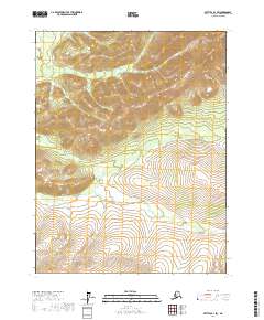
2017 · Bettles D-1 SW
USGS Topo · 1:25,000
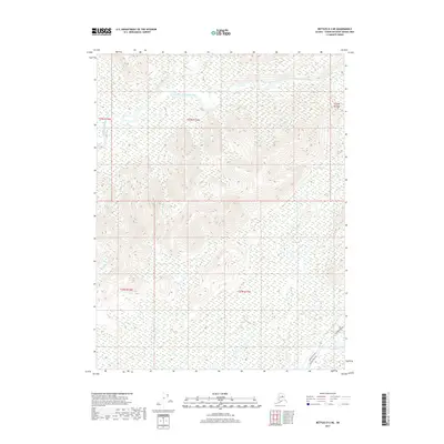
2017 · Bettles D-2 NE
USGS Topo · 1:25,000
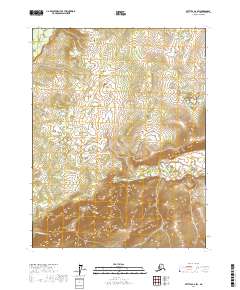
2017 · Bettles D-2 SW
USGS Topo · 1:25,000