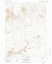
1959 Map of Beulah Belle Lake
USGS Topo · Published 1983About this map
Beulah Belle Lake sits as a centerpiece in this high desert landscape of central Wyoming, surrounded by a complex system of drainage and relief. In the late 1950s, the area supported livestock operations at the Bug Ranch in the northwest and Spear Ranch along Dry Creek. The presence of an Emergency Airstrip (Abandoned) east of the lake suggests the area's role in early mid-century aviation infrastructure, while a scattered Prospect and several wells indicate the region's intermittent mineral and resource exploration. To the south, the Soda Lakes provide a distinct contrast to the northern draws like Black Rock Draw and Roberts Draw. This survey captures a moment when traditional ranching coexisted with modern aviation needs and the geological investigation of the Black Rock formation.
Find a feature on this map
12 named features on this map. Tap any name to fly to it.
Don’t see what you’re looking for? This feature index may not catch every label — zoom into the map to look around manually.
Map Details
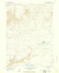
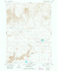
Editions of this 1959 Beulah Belle Lake Map
3 editions found
Other maps of this area

1951 · Savage Peak
USGS Topo · 1:24,000

1951 · Independence Rock
USGS Topo · 1:24,000

1951 · Fort Ridge
USGS Topo · 1:24,000

1955 · Casper
USGS Topo · 1:250,000

1958 · Casper
USGS Topo · 1:250,000

1959 · Horse Creek Springs
USGS Topo · 1:24,000

1959 · Sanford Ranch
USGS Topo · 1:24,000

1959 · Saddle Rock
USGS Topo · 1:24,000

1959 · Miller Spring
USGS Topo · 1:24,000

1959 · Barlow Gap
USGS Topo · 1:24,000