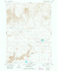
1959 Map of Beulah Belle Lake
USGS Topo · Published 1985About this map
Ollean Ranch and Spear Ranch anchor this landscape of the central Wyoming plains, where seasonal drainage and high-desert hydrology dictate the patterns of settlement. The map highlights Beulah Belle Lake and the nearby Soda Lakes, which provide a stark contrast to the seasonal flow of Dry Creek. A notable feature for local historians and aviation researchers is the Emergency Airstrip (Abandoned) located east of the lake, reflecting mid-century infrastructure needs in this isolated region. The topography is defined by significant elevations such as Black Rock and the survey point VABM 7143 (Rock), while small-scale land use is marked by scattered Prospect sites and the remote Bug Ranch in the northwest corner. This 1959 field-checked survey, updated with 1980s data, documents a ranching territory where water sources like Black Rock Springs were essential for survival.
Find a feature on this map
12 named features on this map. Tap any name to fly to it.
Don’t see what you’re looking for? This feature index may not catch every label — zoom into the map to look around manually.
Map Details
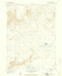
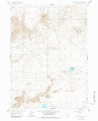
Editions of this 1959 Beulah Belle Lake Map
3 editions found
Other maps of this area

1951 · Savage Peak
USGS Topo · 1:24,000

1951 · Independence Rock
USGS Topo · 1:24,000

1951 · Fort Ridge
USGS Topo · 1:24,000

1955 · Casper
USGS Topo · 1:250,000

1958 · Casper
USGS Topo · 1:250,000

1959 · Horse Creek Springs
USGS Topo · 1:24,000

1959 · Sanford Ranch
USGS Topo · 1:24,000

1959 · Saddle Rock
USGS Topo · 1:24,000

1959 · Miller Spring
USGS Topo · 1:24,000

1959 · Barlow Gap
USGS Topo · 1:24,000