
1892 Map of Beverly
USGS Topo · Published 1892About this map
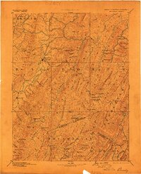
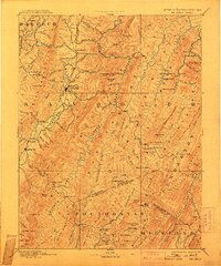
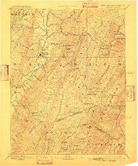
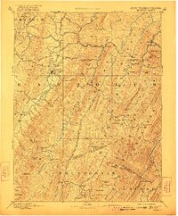
Beverly and Huttonsville anchor this 1892 study of the high ridges and deep river valleys of central West Virginia. The landscape is dominated by the parallel chains of Laurel Hill, Rich Mountain, and Shavers Mountain, which forced early settlement into the narrow lowlands along Leading Creek and the upper reaches of the Greenbrier River. A rare Boundary Line in Dispute is noted between Randolph and Pocahontas counties, illustrating the unsettled nature of territorial limits in the late 19th century. Small mountain outposts like Travellers Repose and Alpena appear along early wagon routes, while industry is represented by the remote Days Mills on the slopes of Brier Patch Mt. The survey details an intricate web of family-named peaks and runs, from Bickle Knob to Files Creek, tracing a geography defined by its dramatic relief.
Find a feature on this map
125 named features on this map. Tap any name to fly to it.
Don’t see what you’re looking for? This feature index may not catch every label — zoom into the map to look around manually.
Map Details
Editions of this 1892 Beverly Map
5 editions found
Other maps of this area

1886 · St. George
USGS Topo · 1:125,000

1889 · Beverly
USGS Topo · 1:125,000

1891 · Huntersville
USGS Topo · 1:125,000

1891 · St. George
USGS Topo · 1:125,000

1892 · Franklin
USGS Topo · 1:125,000

1893 · Buckhannon
USGS Topo · 1:125,000

1894 · Huntersville
USGS Topo · 1:125,000

1894 · Staunton
USGS Topo · 1:125,000

1895 · Piedmont
USGS Topo · 1:125,000

1896 · Buckhannon
USGS Topo · 1:125,000