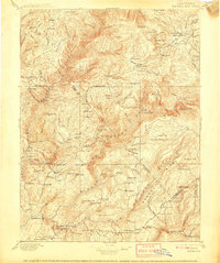
1897 Map of Bidwell Bar
USGS Topo · Published 1908About this map
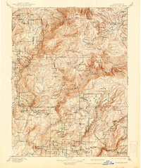
Butte Co. and Plumas Co. are divided by the winding path of the Feather River during this late nineteenth-century survey, a landscape defined by gold-era extraction and mountain ranching. The terrain is marked by numerous family-named outposts and stopping points like Bucks Ranch, Spanish Ranch, and Fields Ranch, indicating a network of high-country agriculture and freighting. Industry is concentrated along the steep drainages where Harts Mill, Big Bar Mill, and Clipper Mill processed timber, while Snows Mine suggests the ongoing mineral interest in the Sierra foothills.
Find a feature on this map
159 named features on this map. Tap any name to fly to it.
Don’t see what you’re looking for? This feature index may not catch every label — zoom into the map to look around manually.
Map Details
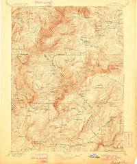
Editions of this 1897 Bidwell Bar Map
7 editions found

Other maps of this area

1886 · Honey Lake
USGS Topo · 1:250,000

1886 · Lassen Peak
USGS Topo · 1:250,000

1888 · Marysville
USGS Topo · 1:125,000

1888 · Smartsville
USGS Topo · 1:125,000

1888 · Bidwell Bar
USGS Topo · 1:125,000

1891 · Bidwell Bar
USGS Topo · 1:125,000

1891 · Chico
USGS Topo · 1:125,000

1891 · Downieville
USGS Topo · 1:125,000

1891 · Honey Lake
USGS Topo · 1:250,000

1891 · Colfax
USGS Topo · 1:125,000