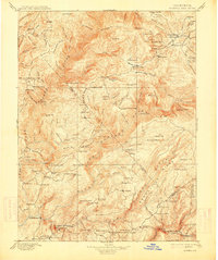
1897 Map of Bidwell Bar
USGS Topo · Published 1914About this map
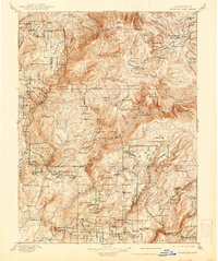
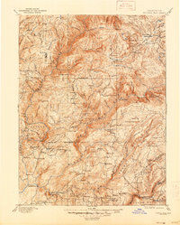
Bidwell Bar and the surrounding gold-country landscapes of Butte and Plumas Counties are depicted here as they appeared in the late 19th century. The terrain is defined by the deep canyons of the North, Middle, and South Forks of the Feather River, which supported a network of early California industry. Numerous family-named ranches and mining operations are scattered across the high ridges and flats, including Spanish Ranch, Bucks Ranch, and Bald Rock Ranch. The industrial footprint of the era is evident in the presence of scattered lumber and quartz processing sites such as Old Defiance Mill, Harts Mill, and Snows Mine. This survey preserves the locations of early mountain outposts and waypoints like American House and Junction House that served travelers and miners moving between the valley and the Sierra crest before modern infrastructure bypassed these remote mountain communities.
Find a feature on this map
154 named features on this map. Tap any name to fly to it.
Don’t see what you’re looking for? This feature index may not catch every label — zoom into the map to look around manually.
Map Details
Editions of this 1897 Bidwell Bar Map
7 editions found

Other maps of this area

1886 · Honey Lake
USGS Topo · 1:250,000

1886 · Lassen Peak
USGS Topo · 1:250,000

1888 · Marysville
USGS Topo · 1:125,000

1888 · Smartsville
USGS Topo · 1:125,000

1888 · Bidwell Bar
USGS Topo · 1:125,000

1891 · Bidwell Bar
USGS Topo · 1:125,000

1891 · Chico
USGS Topo · 1:125,000

1891 · Downieville
USGS Topo · 1:125,000

1891 · Honey Lake
USGS Topo · 1:250,000

1891 · Colfax
USGS Topo · 1:125,000