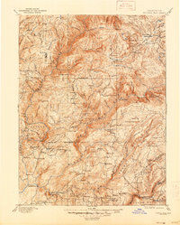
1897 Map of Bidwell Bar
USGS Topo · Published 1944About this map
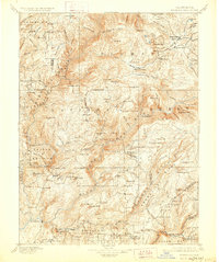
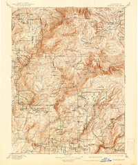
Bidwell Bar serves as a focal point in this late-19th-century survey of the gold-rich Sierra Nevada foothills, situated at the confluence of the Middle Fork Feather River and the South Fork Feather River. The landscape is a network of early industrial activity and small-scale settlement, defined by family-named landmarks like Bucks Ranch and Foremans. The map reveals the logistical infrastructure of the era, from the Cherokee Bridge to numerous remote timber and ore operations such as Old Defiance Mill and Hutchins Mill.
Find a feature on this map
109 named features on this map. Tap any name to fly to it.
Don’t see what you’re looking for? This feature index may not catch every label — zoom into the map to look around manually.
Map Details
Editions of this 1897 Bidwell Bar Map
7 editions found

Other maps of this area

1886 · Honey Lake
USGS Topo · 1:250,000

1886 · Lassen Peak
USGS Topo · 1:250,000

1888 · Marysville
USGS Topo · 1:125,000

1888 · Smartsville
USGS Topo · 1:125,000

1888 · Bidwell Bar
USGS Topo · 1:125,000

1891 · Bidwell Bar
USGS Topo · 1:125,000

1891 · Chico
USGS Topo · 1:125,000

1891 · Downieville
USGS Topo · 1:125,000

1891 · Honey Lake
USGS Topo · 1:250,000

1891 · Colfax
USGS Topo · 1:125,000