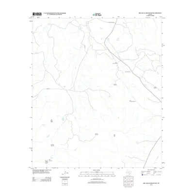
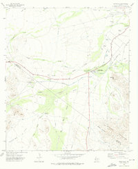
2012 Map of Big Aguja Mountain
USGS Topo · Published 2012About this map
Big Aguja Mtn and Star Mtn dominate this high-desert landscape in the Davis Mountains region, where survival is dictated by the strategic location of water. The ranching economy of the early twenty-first century is evidenced by an extensive network of water infrastructure, from the Little Hell Windmill and Star Mountain Windmill to the Old Lake Windmill. These man-made improvements complement natural features such as Big Aguja Springs and Augustine Spring. The terrain is deeply incised by drainages like Catclaw Canyon, Second Water Canyon, and Dry Canyon, which eventually feed toward Limpia Cr. The presence of the Seven Springs Ranch and the remote Hiking Trl suggests a landscape that remains sparsely populated, dedicated primarily to large-scale livestock operations and the management of critical desert springs like Cottonwood Spring and Dark Canyon Springs.
Find a feature on this map
30 named features on this map. Tap any name to fly to it.
Don’t see what you’re looking for? This feature index may not catch every label — zoom into the map to look around manually.
Map Details
Editions of this 2012 Big Aguja Mountain Map
This is the sole edition of this map. No revisions or reprints were ever made.
Other maps of this area

1894 · Fort Davis
USGS Topo · 1:125,000

1897 · Fort Davis
USGS Topo · 1:125,000

1954 · Fort Stockton
USGS Topo · 1:250,000

1958 · Fort Stockton
USGS Topo · 1:250,000

1972 · Casket Mountain
USGS Topo · 1:24,000

1972 · Swayback Mountain
USGS Topo · 1:24,000
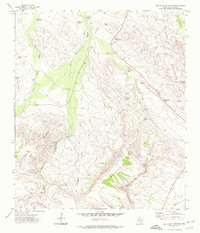
1972 · Big Aguja Mountain
USGS Topo · 1:24,000
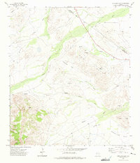
1972 · Antelope Flat
USGS Topo · 1:24,000
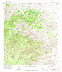
1972 · Little Aguja Mountain
USGS Topo · 1:24,000
1972 · Toyahvale
USGS Topo · 1:24,000