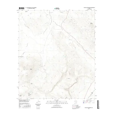
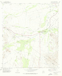
2016 Map of Big Aguja Mountain
USGS Topo · Published 2016About this map
Big Aguja Mountain dominates this landscape in the Davis Mountains region, where a network of springs and tanks supports life in the high desert. Historically significant water sources like Old Camp Spring and Big Aguja Springs are scattered across the terrain, connected by primitive routes such as Ranch Rd 1832. The presence of the T and P Lake and Company Tank highlights the vital infrastructure once required for ranching and railway operations in this corner of the Trans-Pecos. The geography is defined by steep elevation changes, moving from the open expanse of Augustine Flat in the northwest to the prominent heights of Star Mtn and the deep cuts of Limpia Canyon and Catclaw Canyon. These features illustrate the traditional reliance on localized water points and the natural corridors used for movement through the mountain passes.
Find a feature on this map
28 named features on this map. Tap any name to fly to it.
Don’t see what you’re looking for? This feature index may not catch every label — zoom into the map to look around manually.
Map Details
Editions of this 2016 Big Aguja Mountain Map
This is the sole edition of this map. No revisions or reprints were ever made.
Other maps of this area

1894 · Fort Davis
USGS Topo · 1:125,000

1897 · Fort Davis
USGS Topo · 1:125,000

1954 · Fort Stockton
USGS Topo · 1:250,000

1958 · Fort Stockton
USGS Topo · 1:250,000

1972 · Casket Mountain
USGS Topo · 1:24,000

1972 · Swayback Mountain
USGS Topo · 1:24,000
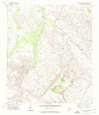
1972 · Big Aguja Mountain
USGS Topo · 1:24,000
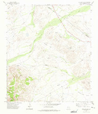
1972 · Antelope Flat
USGS Topo · 1:24,000
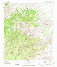
1972 · Little Aguja Mountain
USGS Topo · 1:24,000
1972 · Toyahvale
USGS Topo · 1:24,000